 |
Natural History of Hazen's Notch |
Glaciology of Hazen's Notch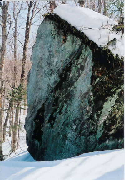 Glacial erratic © Rolf Anderson The Hazen's Notch area of northern Vermont reveals a long history of geological, glacial and human activity. The Green Mountains are part of the larger chain of mountains, the Appalachians, that thrust upward during the late Paleozoic Era some 250 million years ago as a result of the continental plates colliding and extend from Newfoundland to Georgia. In the Quaternary Period of the Cenozoic Period, the last of four recent periods of glaciation covered the northern North American continent to its greatest extent about 18,000 years ago. |
Native Peoples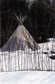 Traditional wigwam by Sharon Powers With the gradual retreat of glaciers, places like Hazen's Notch were carved by the heavy forces of ice scour and subsequently thousands of years of erosion from snow, rain and weathering. The geology of the Hazen's Notch area in Westfield and Montgomery (the west side of the Notch) is primarily Hazen's Notch Formation of schist with intrusions of Belvidere Mountain Amphibolite and two areas of ultramafic rocks all of which grades into Jay Peak Formation in the lower elevations. Native Americans of the Abenaki tribe lived in Vermont following the retreat of glaciation near the lower rivers and Lake Champlain and Lake Memphremagog and the Connecticut River valley. They did not live in the Green Mountains, but hunting parties of men and boys came to these woods to catch big game for winter food and clothing. "Archaeological and cultural historical evidence show that there was a year-round settlement of Abnaki from 1700 - 1758 in what is now Swanton at the mouth of the Missisquoi River." |
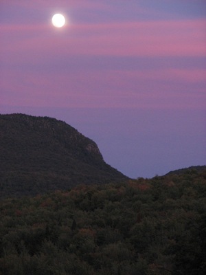
European SettlementAs European settlers arrived in the 18th century, they cleared land for their farms in the valleys and harvested timber from the northern hardwood and coniferous forest in the mountains. The earliest use of the road through the Notch (Rt. 58) was to transport troops and arms during the Revolutionary War days and a stone marking the Terminus of the Bailey/Hazen Military Road at the height of Hazen's Notch bears the date 1779. Today, the Hazen's Notch area offers many opportunities for recreation: the Long Trail follows the ridge of the area mountains, skirts around the precipitous cliffs of Sugarloaf Mountain, which presently is home to Ravens and historically is known as a site for nesting Peregrine Falcons. The Catamount Trail also traverses the Notch along the higher unplowed portion of Rt. 58 and then enters the woods. Rare ferns and wildflowers cling to the rocky faces of Sugarloaf Mountain and Haystack Mountain to the south, the home of marcescent sandwort known in the New World from Vermont, New Hampshire, Quebec and Newfoundland. The State of Vermont has recognized the importance of this region and has designated 307 acres as the Hazen's Notch State Park. |
Green Mountain Club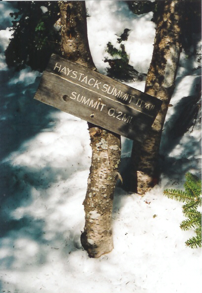 © Rolf Anderson Since 1927 the Long Trail has passed through Hazen's Notch, following the ridge of the Green Mountains on its way north to the Canadian border. Built and maintained by the Green Mountain Club (GMC) of Waterbury Center, Vermont - the Long Trail (LT), takes a rugged route over Haystack Mountain and descends quickly to Route 58 in the Notch. Here there are excellent views of the precipitous cliffs of Sugarloaf Mountain, which presently are home to Ravens. Beginning in 1986, the GMC has been working through its Long Trail Protection Campaign to acquire a permanently protected corridor for the LT. This nationally significant recreational resource is being put in trust for the public by the Green Mountain Club, ensuring that hikers will always have access to Vermont's wild and scenic Green Mountains. Most of the Long Trail from Belvidere Mountain north to the Canadian border has been permanently protected through purchase of private lands, placement of a conservation easement and transfer to the Vermont Department of Forests, Parks & Recreation. The Green Mountain Club's trail protection work along this section of the Long Trail represents the first significant natural resource conservation activity in the Hazen's Notch Area since the State of Vermont's original acquisition of the Sugarloaf Cliffs in the mid 1900's. The GMC maintains a shelter north of the Notch for backpackers hiking the LT between Tillotson Peak and Jay Peak. The LT is designed and maintained for summer use as a hiking trail only. Bicycles and motorized vehicles are strictly forbidden. Winter Long Trail users should use extra caution. The LT is a narrow, steep and rugged footpath, not suitable for skiing. While snowshoeing is possible, the LT's characteristic white paint blazes are not easily seen amidst the snowy scenery.
|

Catamount Trail AssociationThe Catamount Trail (CT) passes through Hazen's Notch on its way from Lowell to Montgomery. This long-distance cross country ski trail is maintained by the Catamount Trail Association (CTA) of Burlington, Vermont. In places the CT coincides with a snowmobile trail maintained by the Vermont Association of Snow Traveler's (VAST). Here skiers should exercise caution. Snowmobile traffic is at its highest on weekends. Although Catamounts (or Mountain Lions) have been extirpated from Vermont for 100 years, a visitor to Hazen's Notch is likely to see sign of bear activity. Tracks, scat, and claw marks of Black Bears are evident throughout the area. |
Atlas Timberlands Partnership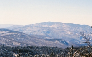 Nature Conservancy of VT NE Wilderness Trust In December of 1997, The Nature Conservancy and the Vermont Land Trust completed the acquisition of over 26,000 acres of forest land in 16 Vermont towns from Wagner Woodlands. This acquisition, called the Atlas Timberlands Project, added many conserved acres to the Hazen's Notch area in Montgomery, Westfield and Lowell. ATP lands adjoin the Long Trail State Forest to the east near Haystack, Tillotson and Belvidere Mountains and the Hazen's Notch Conservation Lands to the west of Burnt Mountain. |
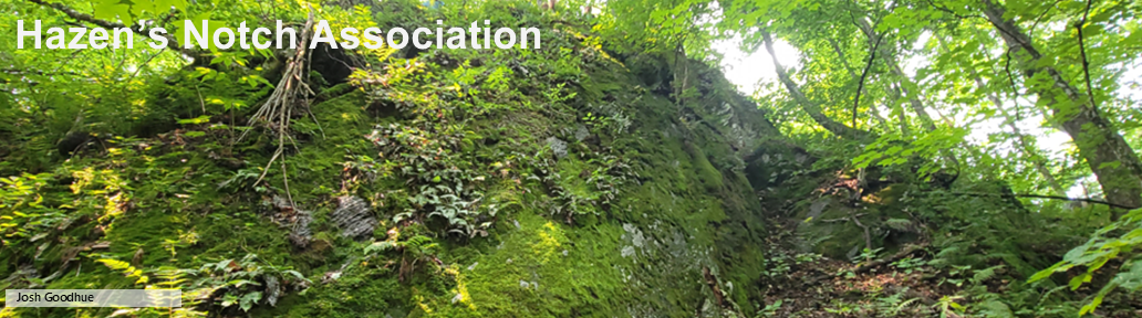
Hazen's Notch Association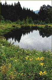 Moosewood Ponds © Rolf Anderson The Hazen's Notch Association (HNA) is a non-profit, member supported, conservation organization located on the Hazen's Notch Road in Montgomery, Vermont. The HNA was founded in 1994 to promote and engage in conservation of agricultural and forest lands, environmental education, outdoor recreation, scientific research, and stewardship of natural resources. The Hazen's Notch Association maintains a network of 15 miles of trails and woods roads on 1,500 acres of private conservation land in the town of Montgomery. These trails are used for cross-country skiing and snowshoeing in Winter and hiking in Summer and Fall. The HNA operates a Summer Nature and Adventure Camp for children. Wade Brook drains Hazen's Notch to the west and, along with Jay Brook, forms the headwaters of the Trout River, a tributary of the Missisquoi River. In 1998 the Hazen's Notch Association received a grant from the Vermont Agency of Natural Resources to study the 5000-acre Wade Brook watershed. The HNA is now undertaking the Wade Brook Watershed Project to protect this important water resource and its related habitats. The Wade Brook Watershed supports a great diversity of plant and animal species and provides clean water for thousands of Vermonters who live downstream of Hazen's Notch. |
Hazen's Notch Conservation Lands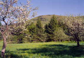 High Meadow © Rolf Anderson The Hazen's Notch Conservation Lands is a privately owned conservation area that lies to the northwest of the summit of Burnt Mountain. This 500-acre natural area consists of 3 preserves: the 110-acre Bear Paw Pond Conservation Area and the 400-acre High Ponds Farm Nature Preserve and adjacent Burnt Mountain Conservation Area. The Bear Paw Pond Conservation Area lies to the south of Route 58, 1 mile east of Montgomery Center. This area is mostly wooded and has several trails and restored woods roads that allow pedestrian access. It is also the site of the Hazen's Notch Summer Camp for children ages 6-15. A Botany Trail leaves the parking area that is located just off Route 58, the Hazen's Notch Road. The High Ponds Farm Nature Preserve (pictured above) is nestled at the base of Burnt Mountain on the Rossier Road, 2 miles east of Montgomery Center. This former hill farm, last farmed by the Dodge Family from 1900 - 1945, serves as a Stewardship Demonstration Site. Some special natural features of these preserves include numerous beaver ponds, large rock outcrops, and a 125-tree apple orchard. Several streams flow through a mixed hardwood/softwood forest, old pasture, and meadow glade. This wonderful range of habitats support a great diversity of plant and animal species. Several miles of woods roads and trails provide excellent routes for exploring the natural features on these conservation areas. For more information, visit these web pages: |
Hazen's Notch Conservation Trust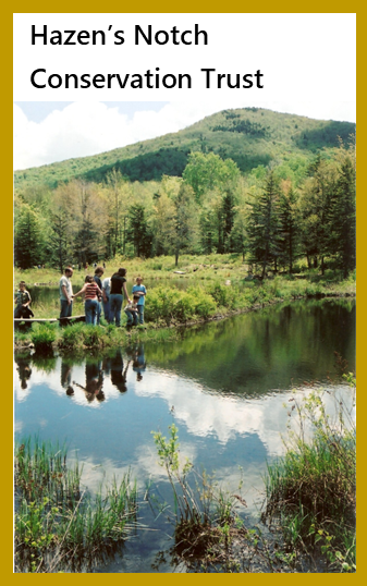 The Hazen's Notch Conservation Trust, Inc. (HNCT) is a non-profit, land trust located in Montgomery, Vermont. The Hazen's Notch Conservation Trust was formed to conserve forests, wildlife habitats, natural areas, farmland, soil and water resources, undeveloped open space, and non-motorized recreational trails in Montgomery, Vermont. A priority for the HNCT is to conserve parcels adjacent to existing conserved lands in order to expand protection of wildlife corridors and habitats. The HNCT was founded in 2022. Please support this important organization. For complete information, visit: Hazen's Notch Conservation Trust 🡕 |
 Bibliography of Natural History
by General Subject (for further reading)
|